 360°Look around in 360°
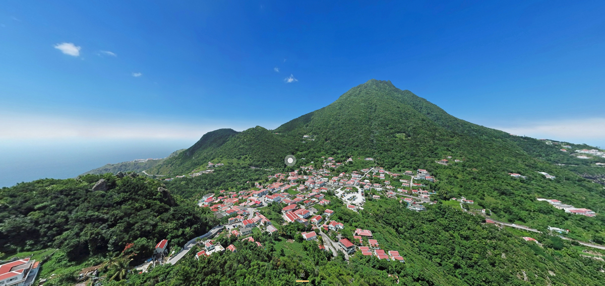
Windwardside
Windwardside is Saba's second village, with white cottages, red roofs and green shutters. You'll find small restaurants, shops, the Saba Heritage Center and the trailheads into the rainforest.
Good to know: Windwardside is the starting point for the Mt. Scenery trail, so it's easy to combine a hike with lunch in the village.
 360°Look around in 360°
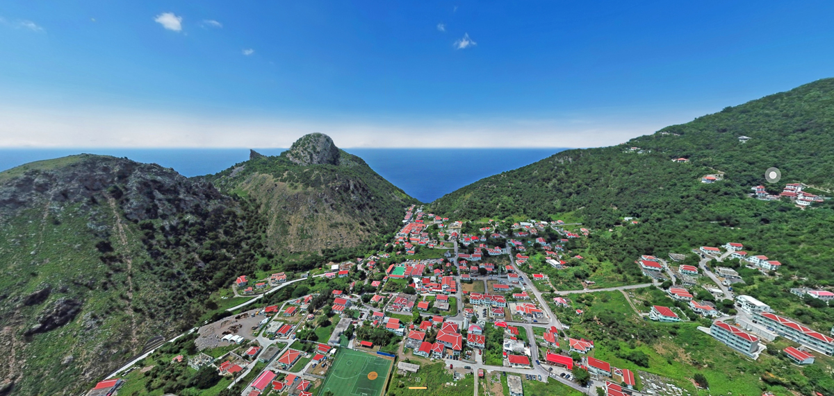
The Bottom
The Bottom is Saba's capital, tucked in a valley between the mountains. It's home to the government buildings, the Saba University School of Medicine, small restaurants and bars.
Good to know: The Bottom is a short drive down The Road from Windwardside. Take a taxi if you don't want to drive the hairpin bends yourself.
 360°Look around in 360°
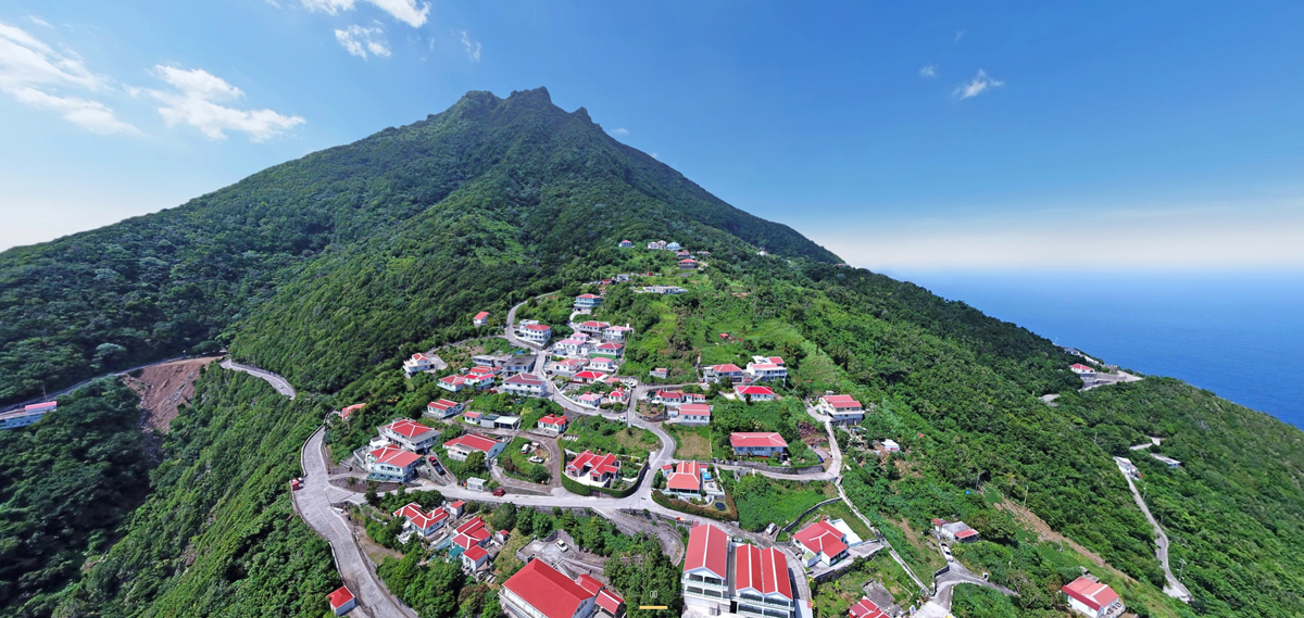
Zion's Hill (Hell's Gate)
Zion's Hill, still often called Hell's Gate, sits about 1000 feet above the sea. Its stone Holy Rosary Church from 1962 is one of the landmarks of the island.
Good to know: Zion's Hill is the first village you reach from the airport. Stop at the Holy Rosary Church for the view.
 360°Look around in 360°
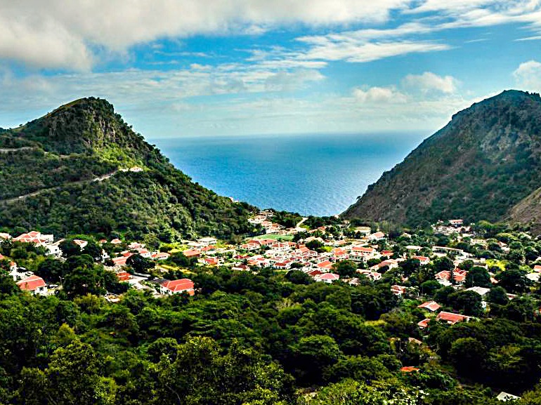
Troy Hill
Troy Hill is one of the highest mountains in the Kingdom of the Netherlands, after Mount Scenery and The Quill. Its slopes are covered with rainforest.
Good to know: The slopes are steep and covered in forest. Enjoy this view from the air.
 360°Look around in 360°
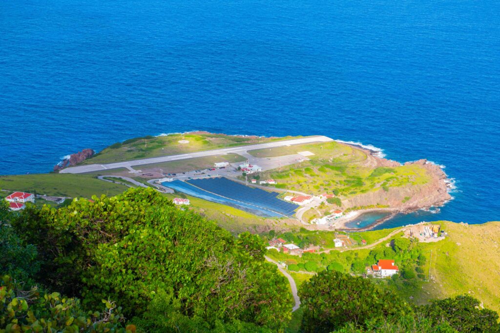
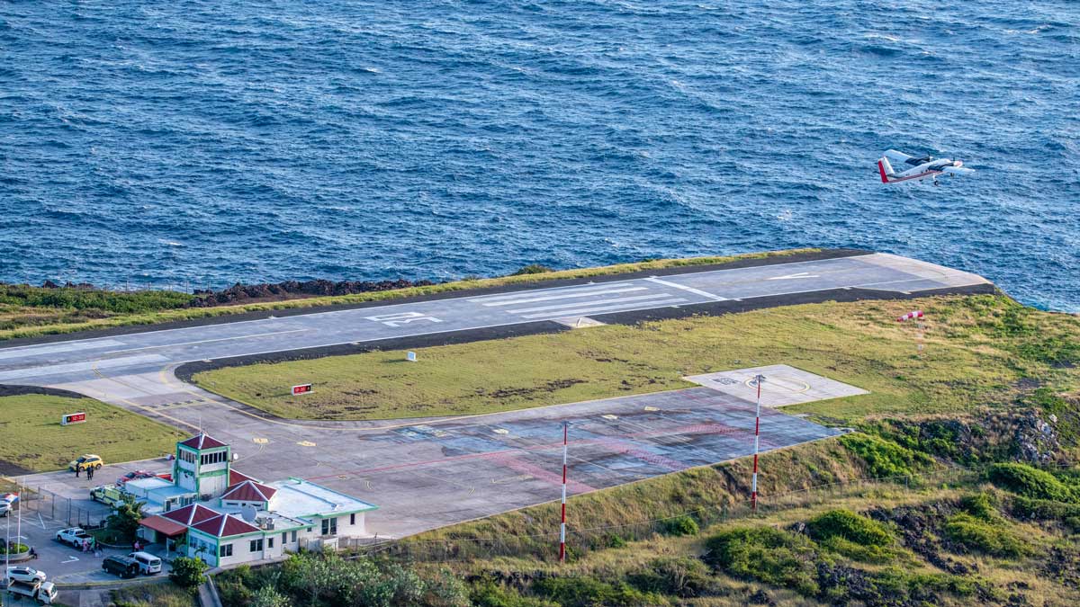
Juancho E. Yrausquin Airport
Saba's airport has the shortest commercial runway in the world, about 400 metres long, with cliffs dropping into the sea at both ends. Every landing is an experience.
Good to know: Sit on the right side of the plane from Sint Maarten for the best view of the landing.
 360°Look around in 360°
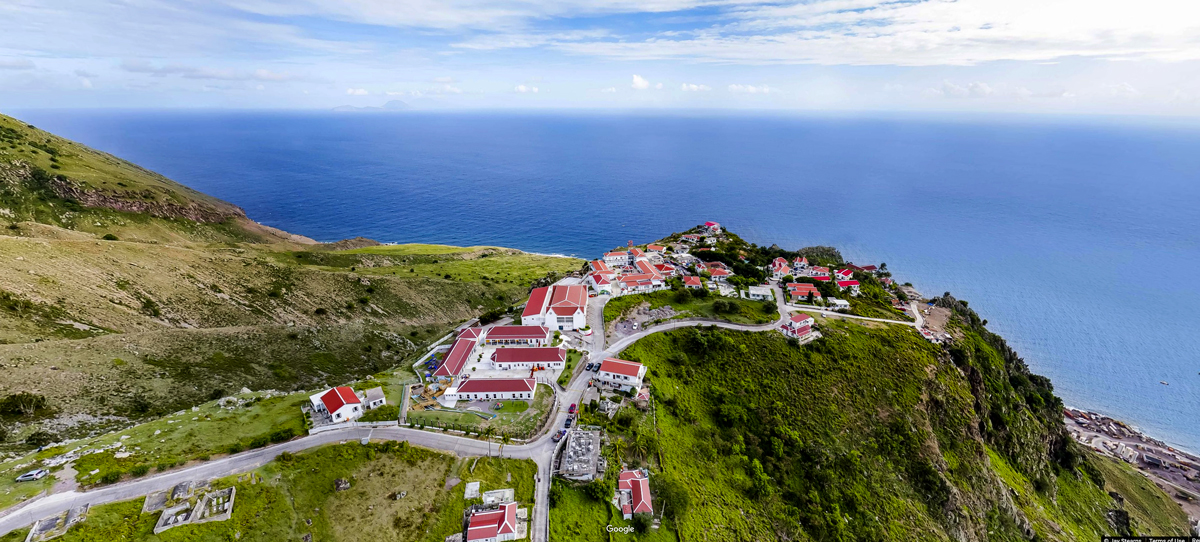
St. John's
St. John's is one of Saba's smallest villages, with wide views over the Caribbean Sea and the neighbouring islands.
Good to know: St. John's lies on The Road between Windwardside and The Bottom, so you'll drive through it on your way to the capital.
 360°Look around in 360°
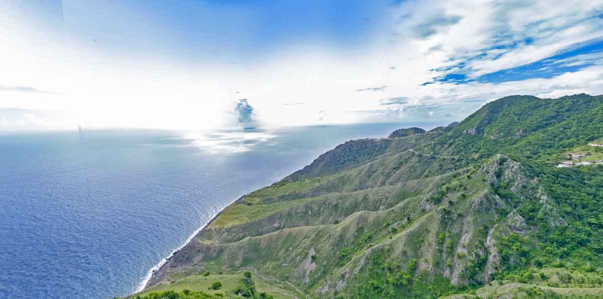
Booby Hill
Booby Hill is a small neighbourhood above Windwardside, with breathtaking views over the sea, St. John's and Windwardside.
Good to know: Booby Hill is home to several rental villas and the JoBean glass art studio.
 360°Look around in 360°
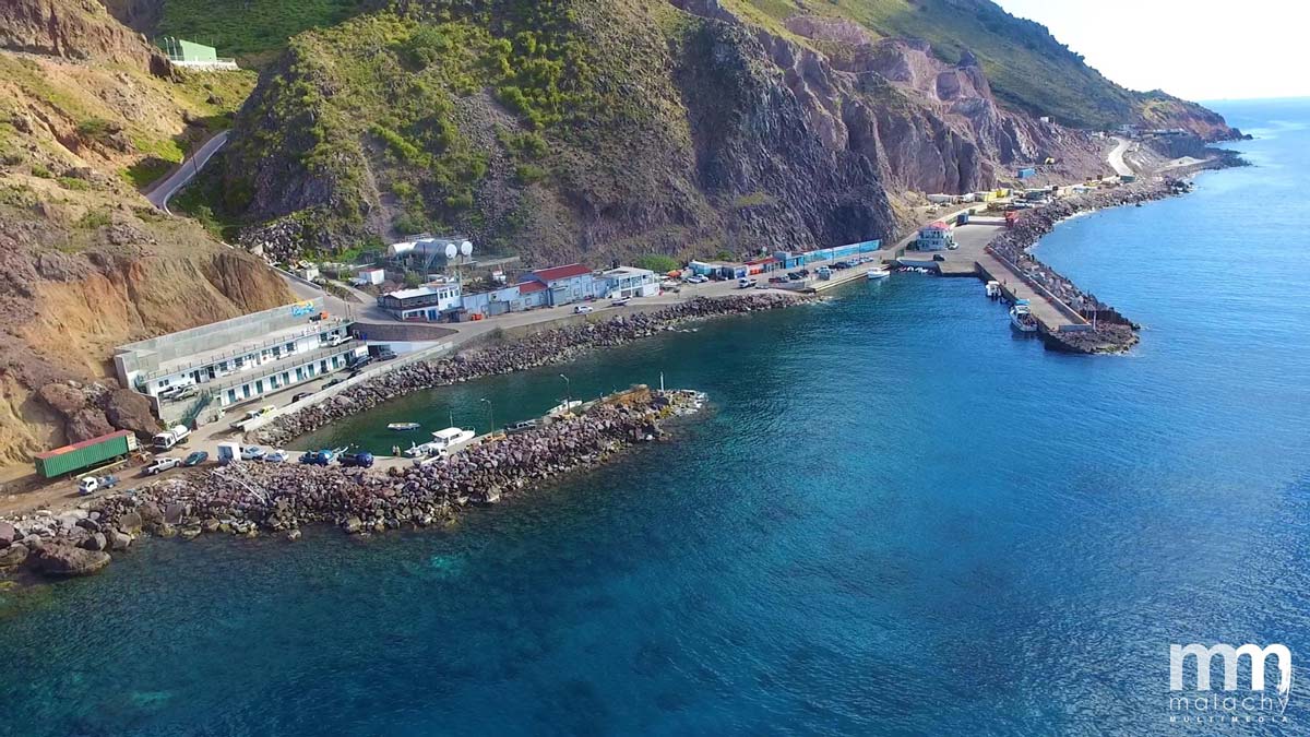
Fort Bay Harbor
Fort Bay Harbor is Saba's only port, on the southwest coast. Ferries, fishing boats and dive boats all come and go from here.
Good to know: Most dive boats leave from Fort Bay, so this is where your dive day starts.
 360°Look around in 360°
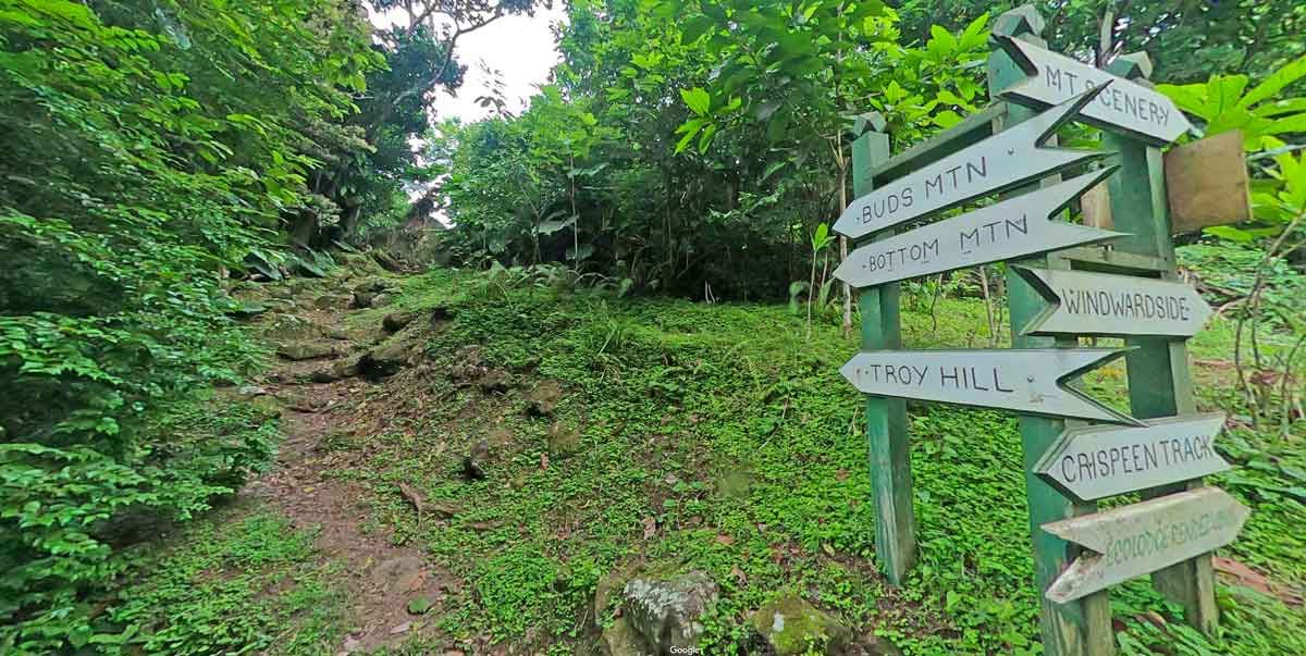
Mt. Scenery Trail
The Mt. Scenery Trail climbs from Windwardside through the rainforest to the top of Mount Scenery, at 887 metres the highest point of the Kingdom of the Netherlands.
Good to know: The trail has about 1,064 steps. Start early, as the summit is often in the clouds by midday.
 360°Look around in 360°
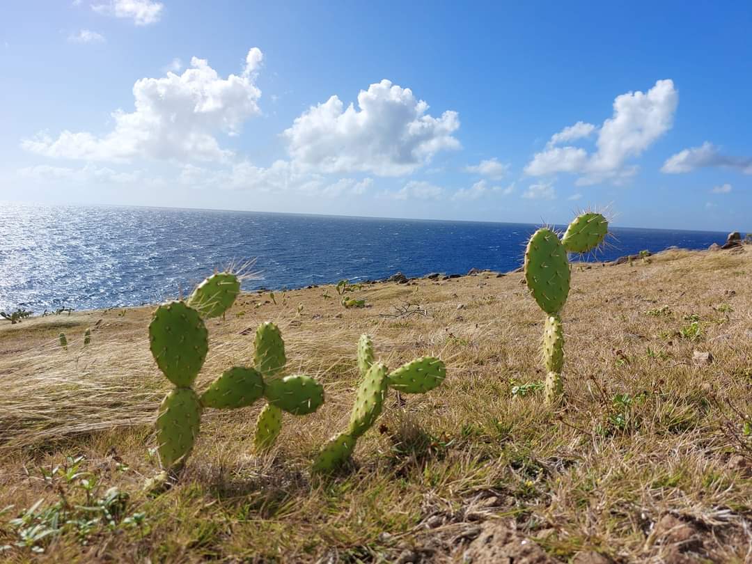
Giles Quarter Trail
The Giles Quarter Trail is one of Saba's many marked hiking trails, leading through the green hills with views over the coast.
Good to know: Wear good shoes: parts of Saba's trails can be steep and slippery after rain.
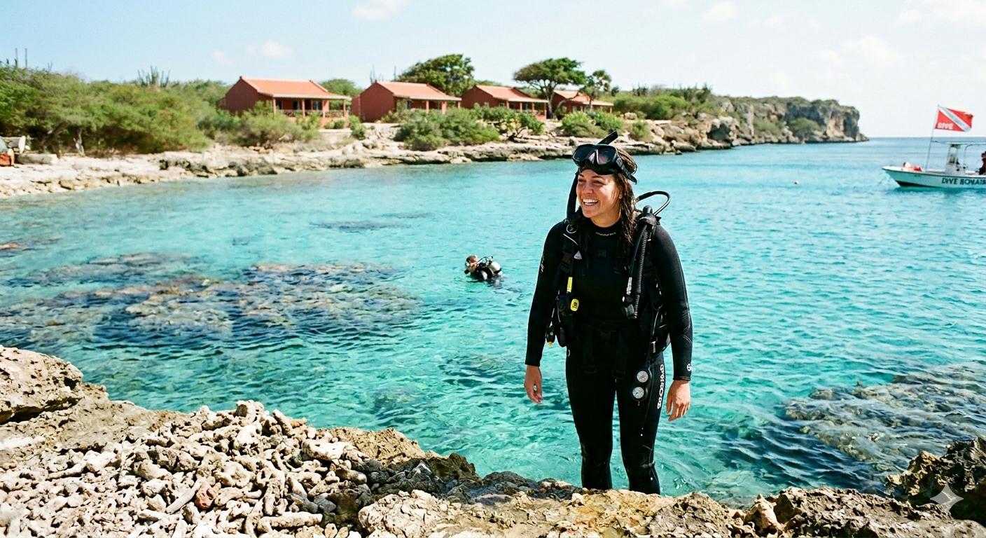
Bonaire Diving: The Best Shore Diving in the Caribbean
Welcome to Bonaire, the undisputed shore diving capital of the Caribbean. Here, the reef is right at your feet, currents
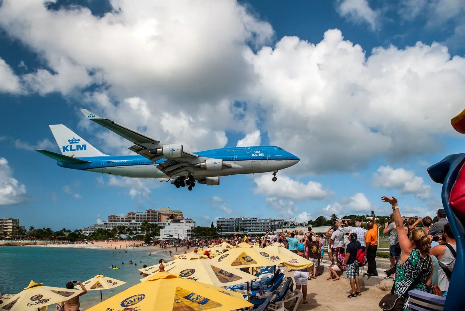
Maho Beach Sint Maarten: The World’s Most Thrilling Beach
You hear it before you see it. A low rumble that you feel in your chest before your ears register
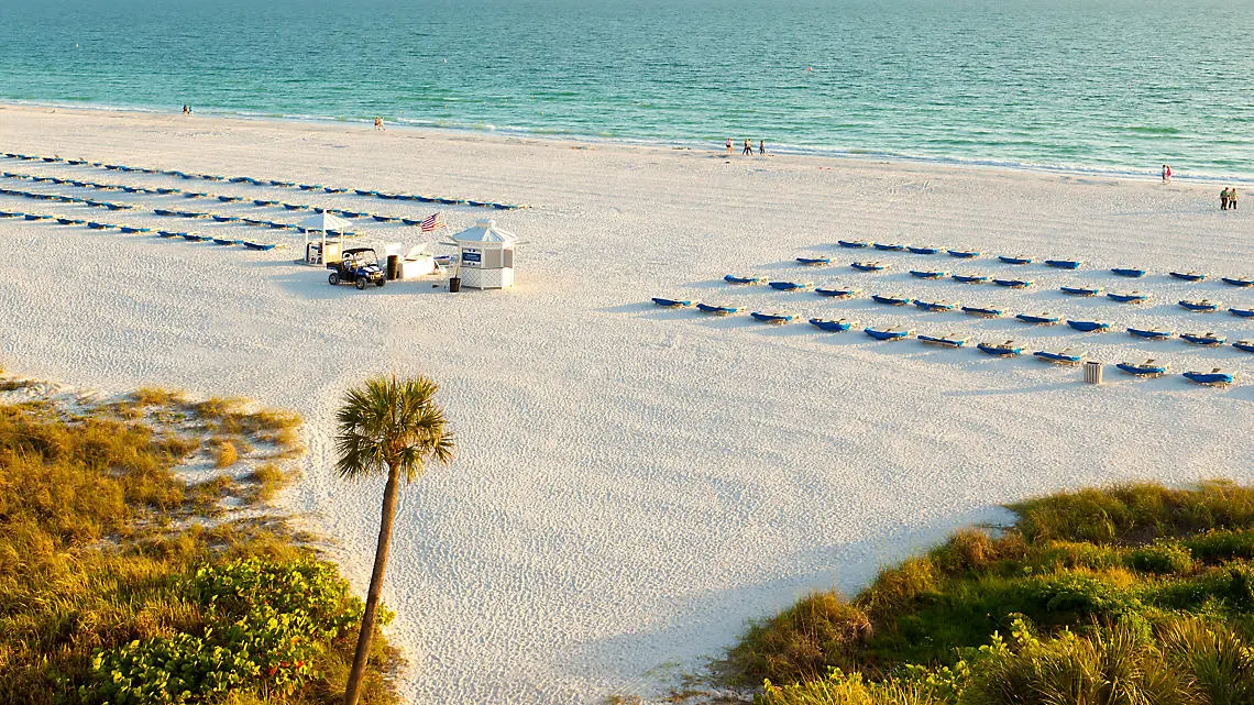
How a Live Webcam Can Fill Your Hotel Rooms (Without Paying Booking.com)
Every hotel manager knows the feeling: another booking comes in, and 15–25% of the
revenue goes straight to an